
Ngân Sơn District topographic map
Interactive map
Click on the map to display elevation.
About this map
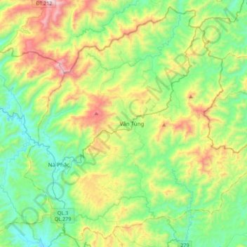
Name: Ngân Sơn District topographic map, elevation, terrain.
Location: Ngân Sơn District, Bac Kan Province, Vietnam (22.28447 105.85002 22.57740 106.18480)
Average elevation: 588 m
Minimum elevation: 179 m
Maximum elevation: 1,526 m