
Pasar Baru topographic map
Interactive map
Click on the map to display elevation.
About this map
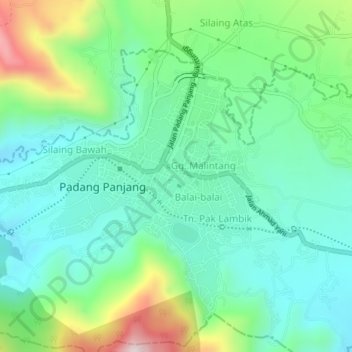
Name: Pasar Baru topographic map, elevation, terrain.
Location: Pasar Baru, West Sumatra, 27111, Indonesia (-0.48439 100.38159 -0.44439 100.42159)
Average elevation: 827 m
Minimum elevation: 687 m
Maximum elevation: 1,192 m