
Le Moulin Jallerat topographic map
Interactive map
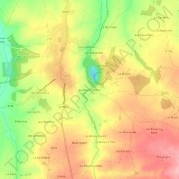
Click on the map to display elevation.
About this map
Name: Le Moulin Jallerat topographic map, elevation, terrain.
Average elevation: 261 m
Minimum elevation: 177 m
Maximum elevation: 322 m
Other topographic maps
Click on a map to view its topography, its elevation and its terrain.
Série
France > Centre-Val de Loire > Indre > Cluis
Série, Cluis, La Châtre, Indre, Centre-Val de Loire, France métropolitaine, 36340, France
Average elevation: 264 m
Les Echeneaux
France > Centre-Val de Loire > Indre > Cluis
Les Echeneaux, Cluis, La Châtre, Indre, Centre-Val de Loire, France métropolitaine, 36340, France
Average elevation: 248 m