
Presidente Kubitschek topographic map
Interactive map
Click on the map to display elevation.
About this map
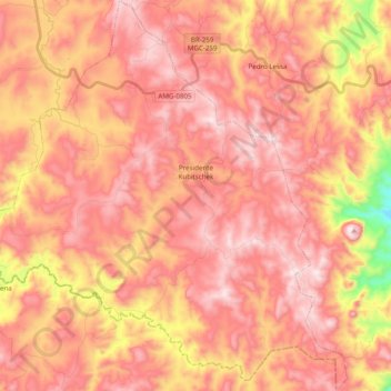
Name: Presidente Kubitschek topographic map, elevation, terrain.
Average elevation: 1,142 m
Minimum elevation: 746 m
Maximum elevation: 1,344 m
The municipal seat of Presidente Kubitschek is located at an elevation of 1109 meters in the upper Jequitinhonha River valley. It is south of Diamantina to which it is connected by state highways MG-259 and federal highway BR-267. The nearest major population center is Diamantina.