
Meadow Vale topographic map
Interactive map
Click on the map to display elevation.
About this map
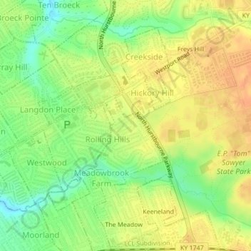
Name: Meadow Vale topographic map, elevation, terrain.
Location: Meadow Vale, Jefferson County, Kentucky, United States (38.27862 -85.57916 38.28950 -85.56675)
Average elevation: 201 m
Minimum elevation: 179 m
Maximum elevation: 217 m