
Olokurto topographic map
Interactive map
Click on the map to display elevation.
About this map
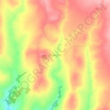
Name: Olokurto topographic map, elevation, terrain.
Location: Olokurto, Narok, Kenya (-0.65330 35.83000 -0.61330 35.87000)
Average elevation: 2,722 m
Minimum elevation: 2,620 m
Maximum elevation: 2,782 m