
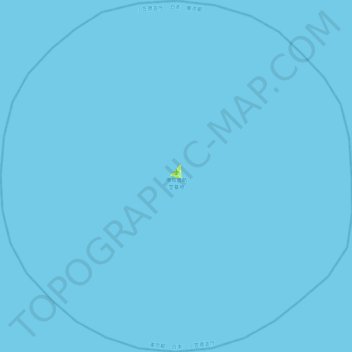
Île Minamitori topographic map
Interactive map
Click on the map to display elevation.
About this map
Name: Île Minamitori topographic map, elevation, terrain.
Location: Île Minamitori, 小笠原村, 小笠原支庁, Tokyo, Japon (24.07755 153.75220 24.49014 154.20554)
Average elevation: 0 m
Minimum elevation: 0 m
Maximum elevation: 11 m