
Make a donation
Gear up for your next adventure:
As an Amazon Associate, this site earns from qualifying purchases at no extra cost to you.
Qaidam Basin topographic map
Click on the map to display elevation.
Make a donation
Gear up for your next adventure:
As an Amazon Associate, this site earns from qualifying purchases at no extra cost to you.
Qaidam Basin
Orographically, the Qaidam Basin is a comparatively low area in the northeastern part of the Tibetan Plateau. With an elevation of around 3,000 m (10,000 ft), Qaidam forms a kind of shelf between Tibet to the south (around 4,300 m or 14,000 ft) and Gansu to the north (around 1,100 m or 3,500 ft). A low water divide separates the Qaidam Basin proper from that of Qinghai Lake to the east. Despite this lower elevation, Qaidam is still high enough that its mean annual temperature is 2–4 °C (36–39 °F) despite lying on the same latitude as Algeria, Greece, and Virginia in the United States.
Make a donation
Gear up for your next adventure:
As an Amazon Associate, this site earns from qualifying purchases at no extra cost to you.
About this map
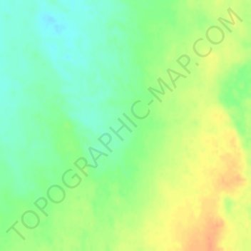
Name: Qaidam Basin topographic map, elevation, terrain.
Average elevation: 2,742 m
Minimum elevation: 2,724 m
Maximum elevation: 2,762 m
Make a donation
Gear up for your next adventure:
As an Amazon Associate, this site earns from qualifying purchases at no extra cost to you.