
Waternish topographic map
Interactive map
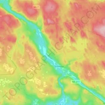
Click on the map to display elevation.
About this map
Name: Waternish topographic map, elevation, terrain.
Average elevation: 96 m
Minimum elevation: 2 m
Maximum elevation: 187 m
Other topographic maps
Click on a map to view its topography, its elevation and its terrain.
Richards Island
Canada > Nova Scotia > Guysborough County > Whitehead
Richards Island, Whitehead, Guysborough District Municipality, Guysborough County, Nova Scotia, Canada
Average elevation: 23 m
Mulgrave
Canada > Nova Scotia > Guysborough County > Mulgrave
Mulgrave, Town of Mulgrave, Guysborough County, Nova Scotia, B0E 2G0, Canada
Average elevation: 62 m