
Mayomboni topographic map
Interactive map
Click on the map to display elevation.
About this map
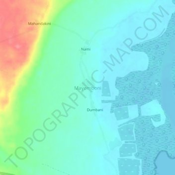
Name: Mayomboni topographic map, elevation, terrain.
Location: Mayomboni, Mkinga, Tanga Region, Northern Zone, Tanzania (-4.76416 39.14580 -4.72416 39.18580)
Average elevation: 17 m
Minimum elevation: -3 m
Maximum elevation: 75 m