
Gildersome topographic map
Interactive map
Click on the map to display elevation.
About this map
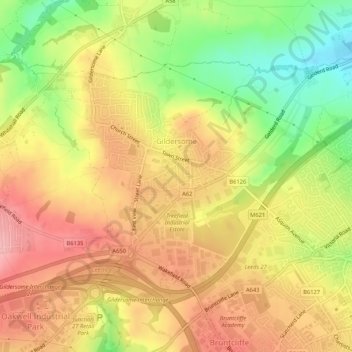
Name: Gildersome topographic map, elevation, terrain.
Location: Gildersome, Leeds, West Yorkshire, England, United Kingdom (53.74512 -1.64575 53.76782 -1.59324)
Average elevation: 143 m
Minimum elevation: 70 m
Maximum elevation: 197 m
England trails, hiking, mountain biking, running and outdoor activities
Other topographic maps
Click on a map to view its topography, its elevation and its terrain.