
Ottawa County topographic map
Interactive map
Click on the map to display elevation.
About this map
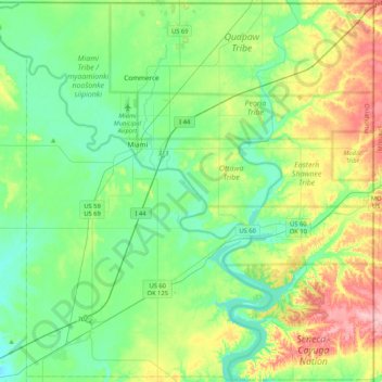
Name: Ottawa County topographic map, elevation, terrain.
Location: Ottawa County, Oklahoma, États-Unis d'Amérique (36.66769 -95.03724 36.99953 -94.61795)
Average elevation: 257 m
Minimum elevation: 219 m
Maximum elevation: 350 m