
Hindeloopen topographic map
Interactive map
Click on the map to display elevation.
About this map
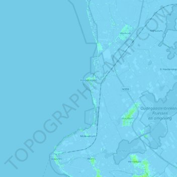
Name: Hindeloopen topographic map, elevation, terrain.
Location: Hindeloopen, Südwestfriesland, Friesland, Niederlande (52.91208 5.21506 52.96007 5.43614)
Average elevation: -1 m
Minimum elevation: -5 m
Maximum elevation: 7 m