
San Antonio topographic map
Interactive map
Click on the map to display elevation.
About this map
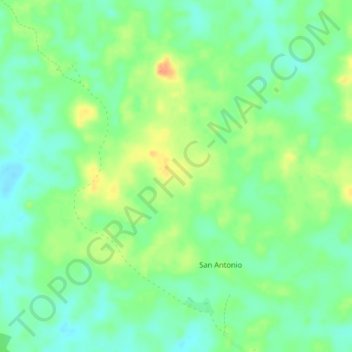
Name: San Antonio topographic map, elevation, terrain.
Location: San Antonio, Puerto Leguízamo, Putumayo, Colombia (-0.12751 -74.81581 -0.08751 -74.77581)
Average elevation: 190 m
Minimum elevation: 173 m
Maximum elevation: 216 m