Geolocate

Gates topographic map

Click on the map to display elevation.

About this map
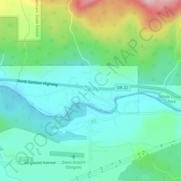
Name: Gates topographic map, elevation, terrain.

Location: Gates, Marion County, Oregon, 97346, United States (44.75159 -122.43706 44.75926 -122.40636)

Average elevation: 334 m

Minimum elevation: 264 m

Maximum elevation: 527 m

Other topographic maps

Click on a map to view its topography, its elevation and its terrain.

Drake Crossing

United States > Oregon > Marion County

Average elevation: 473 m

Clear Lake

United States > Oregon > Marion County > Keizer

Average elevation: 45 m

Champoeg

United States > Oregon > Marion County

Average elevation: 40 m

Macleay

United States > Oregon > Marion County

Average elevation: 135 m

Gear up for your next adventure:

🕶️Polarized Sunglasses - Reduces glare from snow and water when reading terrain
🧴Tick Removal Tools - Small, essential health tool for UK woodland and moorland
🧥Waterproof Hiking Jackets - Rain protection for walking in all weather conditions
🧣Fleece Neck Warmers - Extra insulation for winter topographic surveys
📦Dry Bags - Waterproof bags to protect gear from rain

As an Amazon Associate, this site earns from qualifying purchases at no extra cost to you.