
Kongona topographic map
Interactive map
Click on the map to display elevation.
About this map
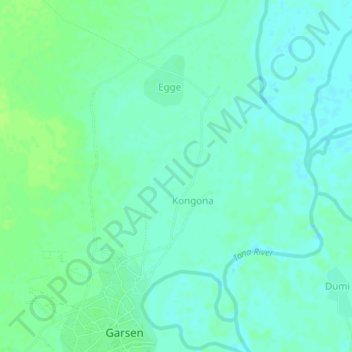
Name: Kongona topographic map, elevation, terrain.
Location: Kongona, Tana River, Coastal Kenya, Kenya (-2.27000 40.09660 -2.23000 40.13660)
Average elevation: 18 m
Minimum elevation: 13 m
Maximum elevation: 25 m