
Marwah topographic map
Interactive map
Click on the map to display elevation.
About this map
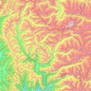
Name: Marwah topographic map, elevation, terrain.
Location: Marwah, Kishtwar District, Jammu und Kaschmir, Indien (33.43889 75.38969 34.21219 76.28417)
Average elevation: 4,017 m
Minimum elevation: 1,560 m
Maximum elevation: 7,057 m