
Asangaon topographic map
Interactive map
Click on the map to display elevation.
About this map
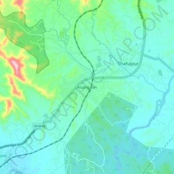
Name: Asangaon topographic map, elevation, terrain.
Location: Asangaon, Shahapur, Thane, Maharashtra, 421601, Indien (19.40091 73.26652 19.48091 73.34652)
Average elevation: 76 m
Minimum elevation: 19 m
Maximum elevation: 339 m