
Sottoguda topographic map
Interactive map
Click on the map to display elevation.
About this map
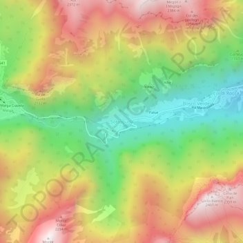
Name: Sottoguda topographic map, elevation, terrain.
Location: Sottoguda, Rocca Pietore, Belluno, Vénétie, 32023, Italie (46.40499 11.91802 46.44499 11.95802)
Average elevation: 1,745 m
Minimum elevation: 1,140 m
Maximum elevation: 2,382 m
Other topographic maps
Click on a map to view its topography, its elevation and its terrain.