
Sarra topographic map
Click on the map to display elevation.
About this map
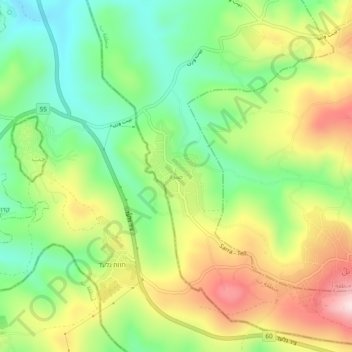
Name: Sarra topographic map, elevation, terrain.
Location: Sarra, Area B, West Bank, 1922, Palestinian Territory (32.18955 35.17019 32.22955 35.21019)
Average elevation: 498 m
Minimum elevation: 342 m
Maximum elevation: 711 m