
Sidi Ahmed topographic map
Interactive map
Click on the map to display elevation.
About this map
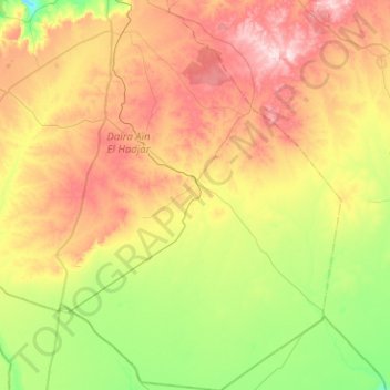
Name: Sidi Ahmed topographic map, elevation, terrain.
Location: Sidi Ahmed, Aïn El Hadjar District, Saïda, Algeria (34.32903 -0.02424 34.74527 0.44764)
Average elevation: 1,115 m
Minimum elevation: 977 m
Maximum elevation: 1,310 m
Other topographic maps
Click on a map to view its topography, its elevation and its terrain.
Aïn El Hadjar
Algeria > Saïda > Aïn El Hadjar District > Aïn El Hadjar
Aïn El Hadjar, Aïn El Hadjar District, Saïda, 20100, Algeria
Average elevation: 1,006 m