
Bathia topographic map
Interactive map
Click on the map to display elevation.
About this map
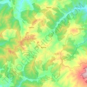
Name: Bathia topographic map, elevation, terrain.
Location: Bathia, Bathia District, Aïn Defla, 44041, Algeria (35.86056 1.70035 35.98397 1.87935)
Average elevation: 897 m
Minimum elevation: 541 m
Maximum elevation: 1,591 m