
Bouchagroune topographic map
Interactive map
Click on the map to display elevation.
About this map
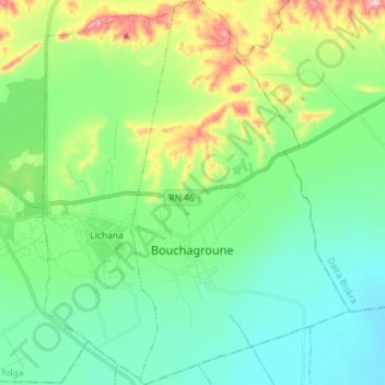
Name: Bouchagroune topographic map, elevation, terrain.
Location: Bouchagroune, Tolga District, Biskra, 07046, Algeria (34.67902 5.44462 34.79757 5.52683)
Average elevation: 159 m
Minimum elevation: 74 m
Maximum elevation: 398 m