
Liberec topographic map
Interactive map
Click on the map to display elevation.
About this map
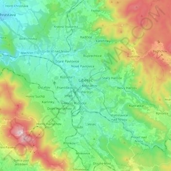
Name: Liberec topographic map, elevation, terrain.
Location: Liberec, okres Liberec, Liberec Region, Northeast, Czechia (50.70798 14.95297 50.82434 15.14688)
Average elevation: 510 m
Minimum elevation: 292 m
Maximum elevation: 996 m
Other topographic maps
Click on a map to view its topography, its elevation and its terrain.