
Agaram topographic map
Click on the map to display elevation.
About this map
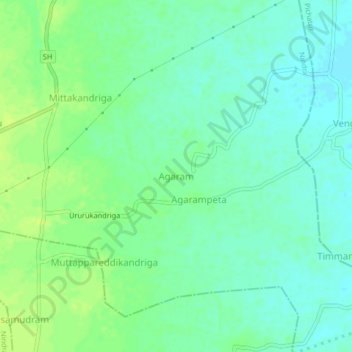
Name: Agaram topographic map, elevation, terrain.
Location: Agaram, Nindra, Chittoor, Andhra Pradesh, 517591, India (13.33525 79.69866 13.37525 79.73866)
Average elevation: 80 m
Minimum elevation: 73 m
Maximum elevation: 88 m