
Nieuweroord topographic map
Interactive map
Click on the map to display elevation.
About this map
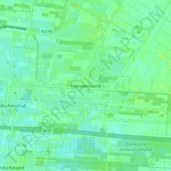
Name: Nieuweroord topographic map, elevation, terrain.
Location: Nieuweroord, Drente, Niederlande, 7912TJ, Niederlande (52.70545 6.54484 52.74545 6.58484)
Average elevation: 15 m
Minimum elevation: 10 m
Maximum elevation: 19 m