
Capolegrotti topographic map
Interactive map
Click on the map to display elevation.
About this map
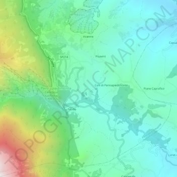
Name: Capolegrotti topographic map, elevation, terrain.
Location: Capolegrotti, Pennapiedimonte, Chieti, Abruzzo, 66016, Italia (42.13196 14.18473 42.17196 14.22473)
Average elevation: 601 m
Minimum elevation: 252 m
Maximum elevation: 1,626 m