
Ourol topographic map
Interactive map
Click on the map to display elevation.
About this map
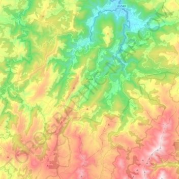
Name: Ourol topographic map, elevation, terrain.
Location: Ourol, A Mariña Occidental, Lugo, Galicien, 27865, Spanien (43.48772 -7.75252 43.62019 -7.52032)
Average elevation: 459 m
Minimum elevation: 2 m
Maximum elevation: 1,048 m