
Raduha topographic map
Interactive map
Click on the map to display elevation.
About this map
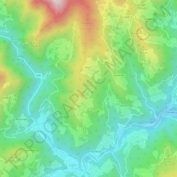
Name: Raduha topographic map, elevation, terrain.
Location: Raduha, Savinja Statistical Region, 3334, Slovénie (46.35255 14.73049 46.39255 14.77049)
Average elevation: 755 m
Minimum elevation: 469 m
Maximum elevation: 1,359 m