定日县 topographic map
Interactive map
Click on the map to display elevation.
About this map
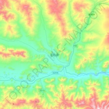
Name: 定日县 topographic map, elevation, terrain.
Average elevation: 4,712 m
Minimum elevation: 4,208 m
Maximum elevation: 5,843 m

Click on the map to display elevation.
Name: 定日县 topographic map, elevation, terrain.
Average elevation: 4,712 m
Minimum elevation: 4,208 m
Maximum elevation: 5,843 m