
Wark topographic map
Interactive map
Click on the map to display elevation.
About this map
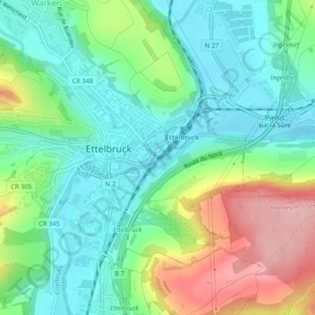
Name: Wark topographic map, elevation, terrain.
Location: Wark, Ettelbruck, Canton Diekirch, 9047, Luxembourg (49.84608 6.10496 49.84636 6.10550)
Average elevation: 247 m
Minimum elevation: 192 m
Maximum elevation: 362 m