
Panicale topographic map
Interactive map
Click on the map to display elevation.
About this map
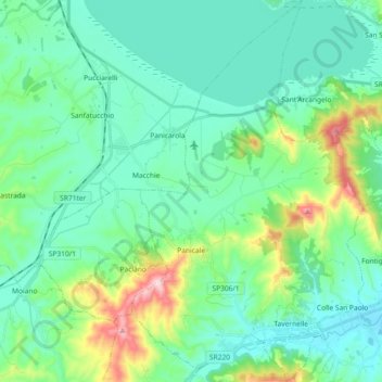
Name: Panicale topographic map, elevation, terrain.
Location: Panicale, Perugia, Umbrien, 06068, Italien (42.98295 12.06976 43.11674 12.20233)
Average elevation: 307 m
Minimum elevation: 220 m
Maximum elevation: 641 m