
Crema topographic map
Interactive map
Click on the map to display elevation.
About this map
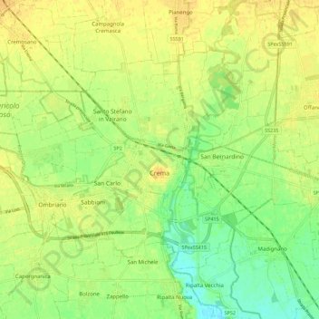
Name: Crema topographic map, elevation, terrain.
Location: Crema, Cremona, Lombardie, 26013, Italie (45.33919 9.62890 45.39285 9.73980)
Average elevation: 78 m
Minimum elevation: 62 m
Maximum elevation: 89 m
Other topographic maps
Click on a map to view its topography, its elevation and its terrain.