
Loyi topographic map
Interactive map
Click on the map to display elevation.
About this map
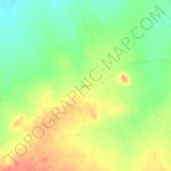
Name: Loyi topographic map, elevation, terrain.
Location: Loyi, Nassarawa A, Ganjuwa, État de Bauchi, Nigéria (10.56575 9.98439 10.60575 10.02439)
Average elevation: 568 m
Minimum elevation: 541 m
Maximum elevation: 596 m