
Waterloo topographic map
Interactive map
Click on the map to display elevation.
About this map
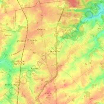
Name: Waterloo topographic map, elevation, terrain.
Location: Waterloo, Nivelles, Brabant wallon, Wallonie, 1410, Belgique (50.67063 4.35498 50.73592 4.44132)
Average elevation: 110 m
Minimum elevation: 57 m
Maximum elevation: 149 m