
Phường Thới Long topographic map
Interactive map
Click on the map to display elevation.
About this map
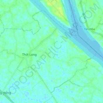
Name: Phường Thới Long topographic map, elevation, terrain.
Location: Phường Thới Long, Ô Môn District, Can Tho City, Vietnam (10.14898 105.56902 10.20296 105.63702)
Average elevation: 4 m
Minimum elevation: -3 m
Maximum elevation: 11 m