Geolocate

Scandeluzza topographic map

Click on the map to display elevation.

About this map
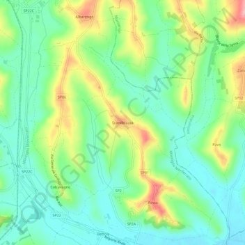
Name: Scandeluzza topographic map, elevation, terrain.

Location: Scandeluzza, Montiglio Monferrato, Asti, Piemonte, 14026, Italia (45.02641 8.11438 45.06641 8.15438)

Average elevation: 204 m

Minimum elevation: 158 m

Maximum elevation: 291 m

Gear up for your next adventure:

🛌Insulated Sleeping Mats - Crucial thermal protection when sleeping on cold, uneven ground
📍Handheld GPS Navigators - Reliable satellite navigation for hiking and off-road exploration
🍱Food Containers - Reusable containers for outdoor meals
🎒Hiking Daypacks - Compact backpacks ideal for short hikes and excursions
🥤Hiking Water Bottles - Reusable bottles for hydration on the trail

As an Amazon Associate, this site earns from qualifying purchases at no extra cost to you.