
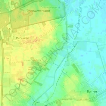
Bronneger topographic map
Interactive map
Click on the map to display elevation.
About this map
Name: Bronneger topographic map, elevation, terrain.
Location: Bronneger, Borger-Odoorn, Drenthe, Pays-Bas, 9527 TC, Pays-Bas (52.92687 6.79562 52.96687 6.83562)
Average elevation: 15 m
Minimum elevation: 5 m
Maximum elevation: 27 m