
Gunlock topographic map
Interactive map
Click on the map to display elevation.
About this map
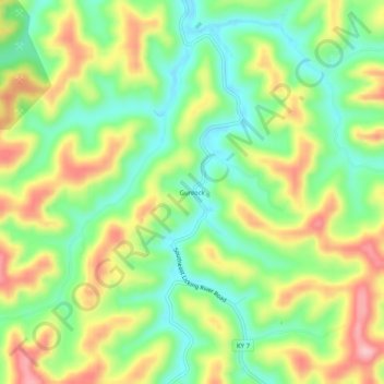
Name: Gunlock topographic map, elevation, terrain.
Location: Gunlock, Magoffin County, Kentucky, 41632, United States (37.52760 -82.94600 37.56760 -82.90600)
Average elevation: 365 m
Minimum elevation: 293 m
Maximum elevation: 463 m