
Ceretola topographic map
Interactive map
Click on the map to display elevation.
About this map
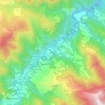
Name: Ceretola topographic map, elevation, terrain.
Location: Ceretola, Firenzuola, Firenze, Toscane, 50033, Italie (44.14368 11.45215 44.18368 11.49215)
Average elevation: 482 m
Minimum elevation: 203 m
Maximum elevation: 922 m