
El Capire topographic map
Interactive map
Click on the map to display elevation.
About this map
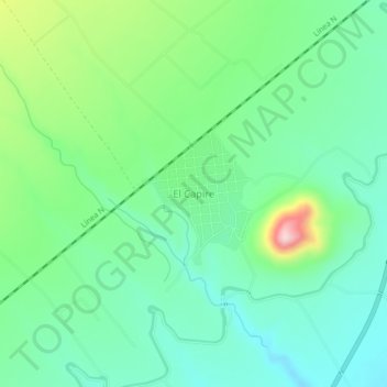
Name: El Capire topographic map, elevation, terrain.
Location: El Capire, Gabriel Zamora, Michoacán, México (19.10304 -102.03766 19.14304 -101.99766)
Average elevation: 539 m
Minimum elevation: 470 m
Maximum elevation: 713 m
Other topographic maps
Click on a map to view its topography, its elevation and its terrain.
Lombardía
México > Michoacán > Gabriel Zamora
Lombardía, Gabriel Zamora, Michoacán, México
Average elevation: 646 m