
Allažu pagasts topographic map
Interactive map
Click on the map to display elevation.
About this map
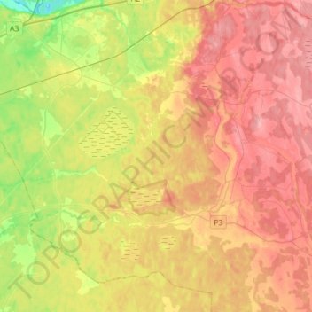
Name: Allažu pagasts topographic map, elevation, terrain.
Location: Allažu pagasts, Siguldas novads, Vidzeme, LV-2154, Lettonie (56.98005 24.62945 57.13152 24.90060)
Average elevation: 65 m
Minimum elevation: 4 m
Maximum elevation: 115 m
Other topographic maps
Click on a map to view its topography, its elevation and its terrain.
Krimuldas pagasts
Lettonie > Vidzeme > Siguldas novads
Krimuldas pagasts, Siguldas novads, Vidzeme, Lettonie
Average elevation: 63 m