
Rehab (Leprosy Camp) topographic map
Interactive map
Click on the map to display elevation.
About this map
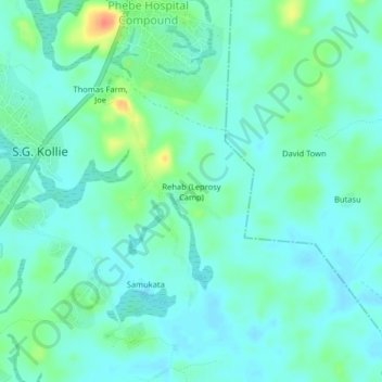
Name: Rehab (Leprosy Camp) topographic map, elevation, terrain.
Location: Rehab (Leprosy Camp), S.G. Kollie, Suakoko, Bong County, Liberia (6.98572 -9.56914 7.02572 -9.52914)
Average elevation: 248 m
Minimum elevation: 236 m
Maximum elevation: 285 m