
Sengon Agung topographic map
Interactive map
Click on the map to display elevation.
About this map
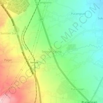
Name: Sengon Agung topographic map, elevation, terrain.
Location: Sengon Agung, Pasuruan, East Java, Indonesia (-7.77175 112.71131 -7.73175 112.75131)
Average elevation: 275 m
Minimum elevation: 180 m
Maximum elevation: 423 m
Other topographic maps
Click on a map to view its topography, its elevation and its terrain.