
Make a donation
Gear up for your next adventure:
As an Amazon Associate, this site earns from qualifying purchases at no extra cost to you.
Magal topographic map
Click on the map to display elevation.
Make a donation
Gear up for your next adventure:
As an Amazon Associate, this site earns from qualifying purchases at no extra cost to you.
Magal
Kibbutz Magal was founded in 1953 as a Nahal settlement on a hill overlooking the Samaria hills and what was then the border with Jordan. The kibbutz sits on a hill known from the War of Independence as the "86th Regiment"—on any elevation of the hill above the sea level (86 meters). The kibbutz was founded by the Tzofim battalion, but when they left, Nahal members began to settle there, which continued to reach it until the 1980s.
Make a donation
Gear up for your next adventure:
As an Amazon Associate, this site earns from qualifying purchases at no extra cost to you.
About this map
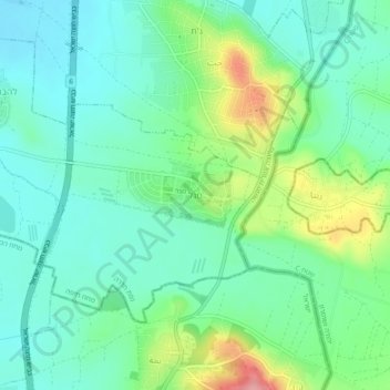
Name: Magal topographic map, elevation, terrain.
Average elevation: 65 m
Minimum elevation: 31 m
Maximum elevation: 150 m
Make a donation
Gear up for your next adventure:
As an Amazon Associate, this site earns from qualifying purchases at no extra cost to you.