
Kabagari topographic map
Interactive map
Click on the map to display elevation.
About this map
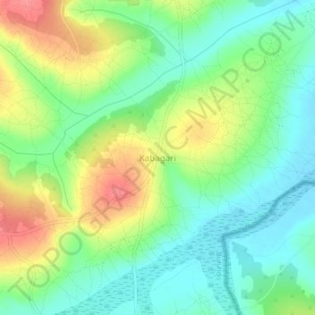
Name: Kabagari topographic map, elevation, terrain.
Location: Kabagari, Mishiha, Cankuzo, Burundi (-3.06245 30.76932 -3.02245 30.80932)
Average elevation: 1,376 m
Minimum elevation: 1,346 m
Maximum elevation: 1,424 m