
Rego topographic map
Interactive map
Click on the map to display elevation.
About this map
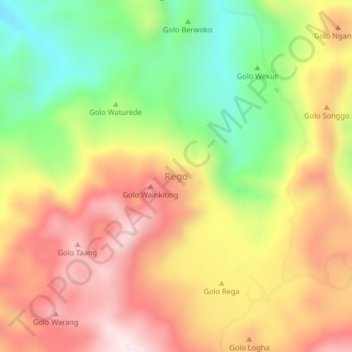
Name: Rego topographic map, elevation, terrain.
Location: Rego, Manggarai Barat, Nusa Tenggara Timur, Indonésia (-8.43592 120.17027 -8.39592 120.21027)
Average elevation: 332 m
Minimum elevation: 50 m
Maximum elevation: 587 m