
ad-Damer topographic map
Interactive map
Click on the map to display elevation.
About this map
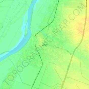
Name: ad-Damer topographic map, elevation, terrain.
Location: ad-Damer, River Nile, Sudan (17.54302 33.92870 17.62302 34.00870)
Average elevation: 355 m
Minimum elevation: 344 m
Maximum elevation: 366 m
Other topographic maps
Click on a map to view its topography, its elevation and its terrain.