
Superior topographic map
Interactive map
Click on the map to display elevation.
About this map
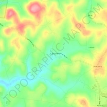
Name: Superior topographic map, elevation, terrain.
Average elevation: 356 m
Minimum elevation: 300 m
Maximum elevation: 425 m
Other topographic maps
Click on a map to view its topography, its elevation and its terrain.
Keystone State Park
United States > Pennsylvania > Westmoreland County > Derry Township
Keystone State Park, Derry Township, Westmoreland County, Pennsylvania, United States
Average elevation: 352 m