
Kyanika topographic map
Interactive map
Click on the map to display elevation.
About this map
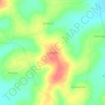
Name: Kyanika topographic map, elevation, terrain.
Location: Kyanika, Mukono, Central Region, Ouganda (0.68753 32.78678 0.72753 32.82678)
Average elevation: 1,084 m
Minimum elevation: 1,058 m
Maximum elevation: 1,119 m
Other topographic maps
Click on a map to view its topography, its elevation and its terrain.